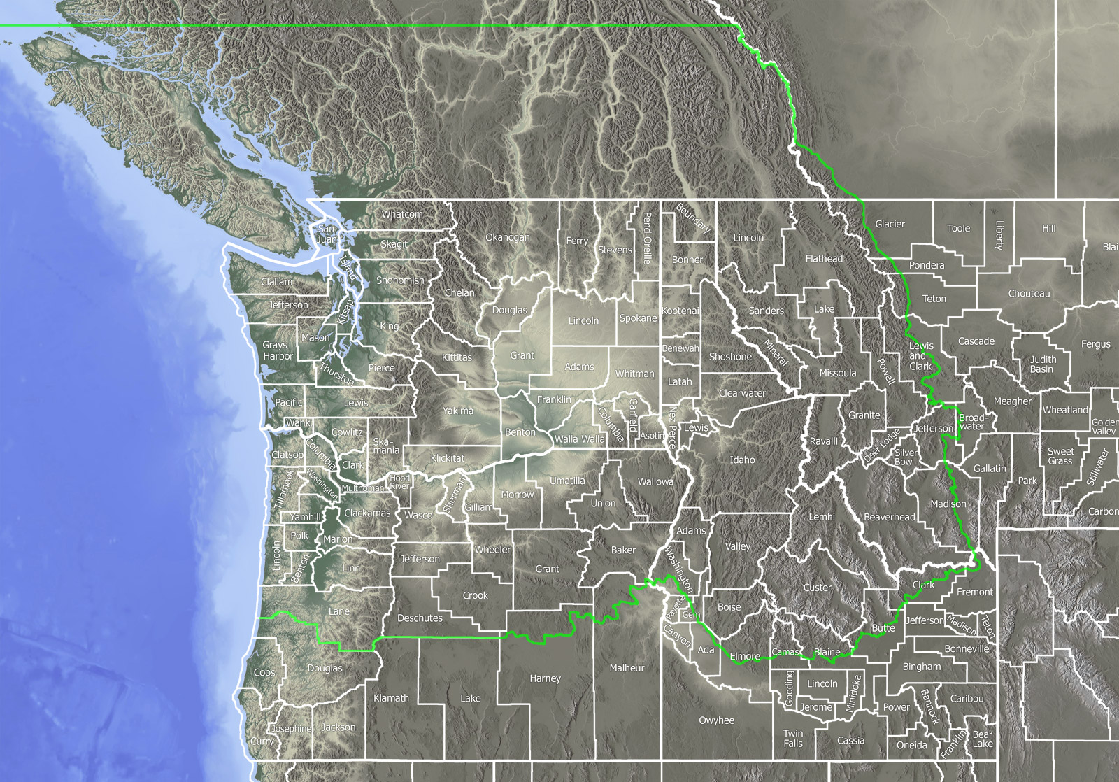
Hippophae rhamnoides
PNW
BC


3 specimens from 1 herbaria:
British Columbia (3)
No County (3)

 Hippophae rhamnoides L.
Annotated by Frank Lomer, 2014.
British Columbia: North Vancouver, east side of Lynn Creek, mouth of creek, 300 m south of railroad tracks. Elev. 1 m
49.302389° N, 123.038306° W,
Pebbled rivershore, growing out of firm mud at base of vegetated old boulder dyke at high tide line; growing with Hordeum brachyantherum, Lathyrus japonicus, Bromus sitchensis, Potentilla egedii. Ca. 10 plants 2.5 - 4.5 m tall, escaped from plantings of about 12, much older, female trees along dyke park; the escaped plants are apparently male with one female with scattered orange fruit; some small immature plants sprouting up on the mud shore as well; sheet is from three separate escaped plants.
Frank Lomer 8837, 2014 Jul 29
UBC, Accession: V242048

 Hippophae rhamnoides L.
Annotated by Frank Lomer, Ron Walker, Su-hui Lomer, 2002.
British Columbia: Grand Forks, ca. 7 km east of, Highway 3, 1 km north of, Ben Stubbs Creek. Elev. 800 m
49.0225° N, 118.333611° W,
Rocky, shrubby, south-facing mountain slope; reportedly a Doukabour settlement area; some persistent and escaped fruit trees; cherry, apple, Russian olive, etc. Single small tree; introduced; planted years ago; not spreading.
Frank Lomer | Ron Walker | Su-hui Lomer 4561, 2002 Sep 18
UBC, Accession: V230880
3 images from 1 herbaria:
UBC (3)

