Terrain
Road Map
Satellite
Hybrid
Terrain

 | Grossulariaceae 1. Ribes sanguineum PurshU.S.A., Washington, Kittitas County: Wenatchee National Forest, Easton Ridge Trail approximately 2 km up from trailhead and 200 m west of trail; tissue in silica for all collections. Elev. 950 m. 47.26725° N, 121.16667° W Datum: WGS 84. Coordinate uncertainty: 50 meters. Coordinate Source: GPS. Remnant south-facing rocky bald encroached by Pseudotsuga menziesii and Acer glabrum; Sedum stenopetalum and Heuchera micrantha common; steep gravelly slope with Sedum divergens common. Scattered on balds; corolla crimson; shrubs to 1.5 m tall. Origin: Native. WTU David Giblin 10151May 13, 2025 |
 | Grossulariaceae 2. Ribes sanguineum PurshU.S.A., Washington, King County: Soos Creek Trail, off side of trail. Elev. 114 m. 47.3617° N, 122.14° W Polystichum munitum. 3 m tall, 3 individuals. SRP: 85293 Ashley Smith S22Mar 21, 2025 |  SRP085293.jpg |
 | Grossulariaceae 3. Ribes sanguineum PurshU.S.A., Washington, Kittitas County: Taneum Canyon. LT Murray Wildlife Area. Approximately 3 air km southwest of Taneum Campground. Elev. 950 m. 47.09928° N, 120.87183° W Datum: WGS 84. Coordinate uncertainty: 100 meters. Georeferenced by Dan Post. Coordinate Source: GPS. Second-growth forest with Pseudotsuga menziesii and Abies sp. common. Scattered along forest opening; flowers crimson. Reproductive state: Flowers. Origin: Native. WTU David Giblin 9710May 16, 2024 |
 | Grossulariaceae 4. Ribes sanguineum PurshU.S.A., Washington, Pierce County: Mt, Baker-Snoqualmie Forest. Palisades Trail. Approximately 0.25 km north and above where trail heads east. Elev. 940 m. 47.05173° N, 121.56854° W Datum: WGS 84. Coordinate uncertainty: 20 meters. Coordinate Source: GPS. South-facing rockface with moss-covered ledges in forest opening. Acer circinatum common at base of face; Mahonia aquifolium, Claytonia parviflora, and Erythranthe alsinoides common. Scattered; leggy shrub to over 2 meters tall; corollas red. David Giblin 9039May 17, 2023WTU: 460256; WTU-V-116264 |  WTU-V-116264.jpg |
 | Grossulariaceae 5. Ribes sanguineum PurshCanada, British Columbia: Metro Vancouver Regional District, UBC Botanical Garden, in the Garry Oak Ecosystem Garden, on path adjacent to SW Marine Drive. 49.253039°, -123.24769°. Sunny, growing amongst Lonicera. UBC: V253911 Philippa Stone | Romulo Segovia PS010May 29, 2023 | 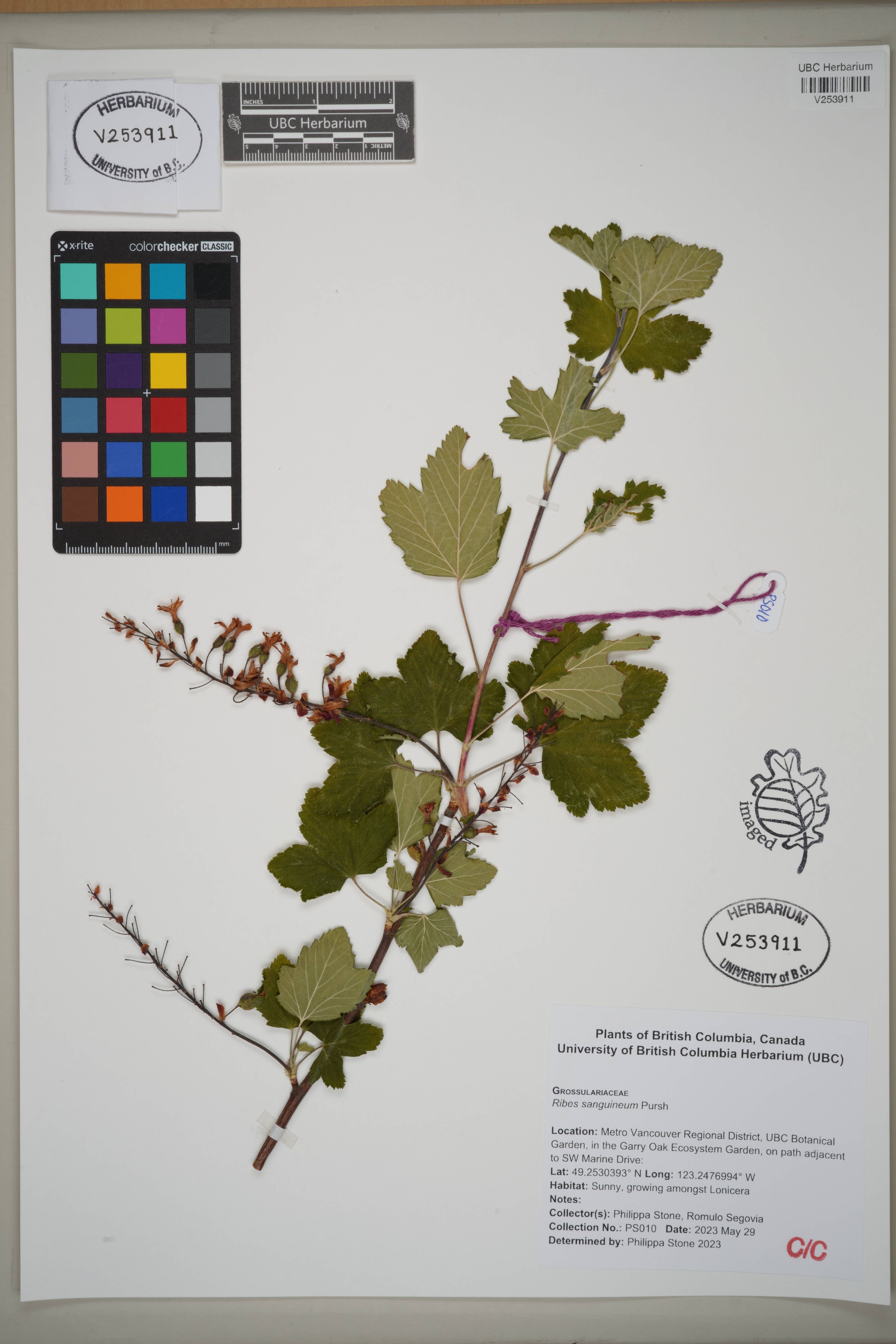 V253911.jpg |
 | Grossulariaceae 6. Ribes sanguineum Pursh var. sanguineum U.S.A., Oregon, Lane County: Umpqua National Forest. Forest Service Road 2213. Elev. 1239 m. 43.59103° N, 122.57361° W Datum: WGS 84. Coordinate uncertainty: 3 meters. Roadside slope in forest with Abies, Pseudotsuga, Tsuga, Acer, Rhododendron. Corolla bright pink. SRP: 77497 J. F. Smith 18209Jun 15, 2022With J. Bosequett, L. Jones |  SRP077497.jpg |
 | Grossulariaceae 7. Ribes sanguineum PurshU.S.A., Oregon, Harney County: Malheur National Forest. Forest Service Road 47 approximately 5 kms north of junction with FS Road 43. Elev. 1400 m. 43.81439° N, 119.30259° W Datum: WGS 84. Coordinate uncertainty: 200 meters. Coordinate Source: GPS. East and north-facing rocky slopes. Scattered at base of slope; stipular spines large, firm. Reproductive state: Flowers. Origin: Native. Phoebe Smurthwaite 22-10Jun 17, 2022WTU: 460653; WTU-V-116712 |  WTU-V-116712.jpg |
 | Grossulariaceae 8. Ribes sanguineum Pursh var. sanguineum United States, Washington, Thurston: Puget Trough Ecoregion: West Rocky Prairie Wildlife Area, parking area off 143rd Ave SE. T16N R2W S12 SW4 SE4. Elev. 290 ft 46.8806°, -122.8758°. Edge of forest and thicket with Pseudotsuga menziesii, Acer, Quercus garryana and old road. HerbariumSpecimenDuplicate: Ribes sanguineum var. sanguineum Shrub 5 ft tall. Uncommon. https://intermountainbiota.org WS: 401018; WS009230 Walter Fertig 34897Apr 23, 2021 |  WS009230_1708619561_lg.jpg |
 | Grossulariaceae 9. Ribes sanguineum PurshU.S.A., Washington, King County: Vashon Island, SW Bank Rd 47.4472844979° N, 122.4845198287° W Datum: WGS84. Coordinate uncertainty: 179 meters. Georeferenced by Gary Shugart. Coordinate Source: GPS. from iNaturalist #11270663 PSM: 11495; 11495.00 Gary Shugart s. n.Apr 12, 2018 |
 | Grossulariaceae 10. Ribes sanguineum PurshU.S.A., Washington, King County: Vashon Island, SW Bank Road 47.4472844979° N, 122.4845198287° W Datum: WGS84. Coordinate uncertainty: 179 meters. Georeferenced by Gary Shugart. Coordinate Source: GPS. iNaturalist PSM: 11504; 11504.00 Gary Shugart s. n.Apr 19, 2018 |
 | Grossulariaceae 11. Ribes sanguineum Pursh var. sanguineum United States, Washington, Kittitas: East Cascades Ecoregion: South Cle Elum Ridge, south of FS Road 3352 along Cedar Creek, ca 4 air miles SE of Cle Elum. T19N R15E S13 SE4 NW4 SW4. Elev. 4000ft 47.13545°, -120.91586°. Bank of rock-lined stream in shady edge of Abies grandis-Abies amabilis forest. With Veratrum californicum, Cirsium, Ribes sanguineum, Osmorhiza occidentalis, Achillea, Mertensia ciliata. HerbariumSpecimenDuplicate: Ribes sanguineum var. sanguineum Flowers red. Plants with unusual scent. Common. https://intermountainbiota.org WS: 402616; WS016413 Walter Fertig 32678Jun 13, 2018 |  WS016413_1706648124_lg.jpg |
 | Grossulariaceae 12. Ribes sanguineum Pursh var. sanguineum United States, California, Del Norte: Siskiyou Mountains; Siskiyou National Forest; along Greyback Road (Indian Creek Road) ca. 19.5 miles northwest of Happy Camp. Elev. 1443 m 41.9939°, -123.53201°. Datum: WGS84. HerbariumSpecimenDuplicate: Ribes sanguineum var. sanguineum. Flowers red; shrub 2 meters tall. https://oregonflora.org OSC-V-259821 Richard R. Halse 10357Jun 11, 2018 | 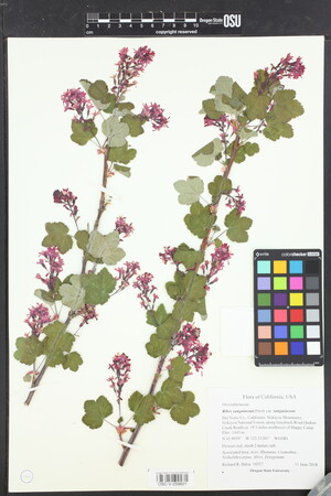 OSC-V-259821_lg.jpg |
 | Grossulariaceae 13. Ribes sanguineum Pursh var. sanguineum U.S.A., Washington, King County: University of Washington Bothell Campus Wetlands, growing on top of East berm of wetlands. Elev. 33 ft. 47° 45\' 52.243" N, 122° 11\' 15.756" W Coordinate Source: GPS. Tree cover (15%): Alnus rubra, Crataegus monogyna, Picea sitchensis, Pseudotsuga menziesii. Shrub cover (60%): Rosa pisocarpa, Rubus bifrons. Emergent (25%): Equisetum arvense, Unknown grass sp., Unknown weed sp. Soil is moist, dark in color, with an earthy smell. Shrub. 3-4 meters tall. Green leaves. Flowers are in late bloom, have 5 petals that are red to pink in color with lighter tips, and have a light floral scent. Fruits are dark blue in color. Reproductive state: Flowers and Fruits. UWB: 000662; UWB 100645 Johnathon Rutledge 9May 12, 2017 |  UWB 100645.jpg |
 | Grossulariaceae 14. Ribes sanguineum PurshUnited States of America, Oregon, Multnomah: Hoyt Arboretum: On the uphill side of the Overlook Trail, approximately 50 meters from the parking lot entrance. Elev. 760 45.514941°, -122.71606°. Datum: WGS84. HOYT: 2017-147/1 Mandy Tu May 3, 2017 |
 | Grossulariaceae 15. Ribes sanguineum Pursh var. sanguineum U.S.A., Washington, Pierce County: JBLM, TA-12, between Chambers and Dailman Lakes 47.02096° N, 122.52258° W Datum: WGS84. Coordinate Source: GPS. A few scattered shrubs under open Pseudotsuga menziesii canopy, with Holodiscus discolor, Corylus sp., Symphoricarpos albus, Rubus armeniacus, Phalaris arundinacea. Reproductive state: Flowers. Origin: Native. Peter Dunwiddie PWD-17-01Apr 6, 2017With Sarah Krock, Peter Zika, Rod Gilbert WTU: 462402; WTU-V-120194 |  WTU-V-120194.jpg |
 | Grossulariaceae 16. Ribes sanguineum PurshU.S.A., Oregon, Jackson County: North Fork Campground. FR 37 off of highway 140. Elev. 1400 m. 42.37839° N, 122.36064° W Datum: WGS 84. Coordinate uncertainty: 16 meters. Coordinate Source: GPS. Forest. Shrub to 1.5 m tall, corolla pink. SRP: 59773 J. F. Smith 13220Jun 7, 2016 |  SRP059773.jpg |
 | Grossulariaceae 17. Ribes sanguineum PurshU.S.A., Oregon, Jackson County: North Fork Campground. FR 37 off of highway 140. Elev. 1400 m. 42.37839° N, 122.36064° W Datum: WGS 84. Coordinate uncertainty: 16 meters. Coordinate Source: GPS. Forest. Shrub to 1.5 m tall, corolla pink. Reproductive state: Flowers & Fruits. James F. Smith 13220Jun 7, 2016IDS: 2017.006; IDS0069880 |  IDS0069880.jpg |
 | Grossulariaceae 18. Ribes sanguineum PurshU.S.A., Washington, Mason County: Olympic National Forest. FS Road 23. Approximately 19 km west of jct. with Highway 101. Skokomish River drainage. Elev. 290 m. 47.37558° N, 123.32745° W Datum: WGS 84. Coordinate uncertainty: 10 meters. Coordinate Source: GPS. South-facing gravelly rock outcropping. Uncommon at edge of creek ravine; flowers red; shrub to 1.5m tall. Reproductive state: Flowers. Origin: Native. David Giblin 5873Apr 28, 2016WTU: 420928; WTU-V-049769 |  WTU-V-049769.jpg |
 | Grossulariaceae 19. Ribes sanguineum PurshUnited States, Oregon, Benton: Along a tributary of Soap Creek on Forest Road 760, McDonald Forest. Elev. 348 44.64584°, -123.34362°. Georeferenced by [automated process-OregonFlora/OSU Herb]. Coordinate Source: OrlookId: 109518, StateProvince: Oregon, County: Benton, LocName: Lat 44 Deg 38 Min 45.023 Sec; Lon -123 Deg 20 Min 37.033 Sec. OregonFlora 1994-2020 methodology. Wet creek margin. Rubus ursinus, Rubus bifrons, Rubus spectabilis, Rubus laciniatus, Petasites frigidus var. palmatus, Gaultheria shallon, Pseudotsuga menziesii, Acer macrophyllum, Equisetum telmateia var. braunii, Polystichum munitum https://oregonflora.org OSC-V-254393 Alexander Abair 160911004Sep 11, 2016With Alex Abair | 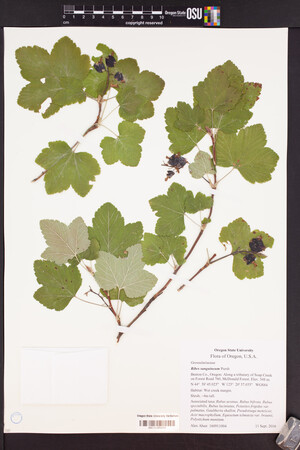 OSC-V-254393_lg.jpg |
 | Grossulariaceae 20. Ribes sanguineum Pursh var. sanguineum U.S.A., Washington, Lewis County: Ceres Hill Road at first switchback on slope near west end of road, ca. 15 air km southwest of Chehalis. Site ID: BSL-1150. Elev. 40 m. 46.610347° N, 123.15272° W Datum: WGS 84. Coordinate uncertainty: 5 meters. Coordinate Source: GPS. Steep, southwest-facing, dry hillside with second-growth Pseudotsuga forest and recently logged areas; brushy, with Lonicera ciliosa, Symphoricarpus. Flowers rich pink; small shrubs to 1.5 meters tall, uncommon. Reproductive state: Flowers. Ben Legler 13474May 8, 2015With Sara Legler WTU: 410378; WTU-V-024449 |  WTU-V-024449.jpg |
 | Grossulariaceae 21. Ribes sanguineum PurshU.S.A., Washington, King County: Dash Point State Park, hillside trail, near the beach of Puget Sound. Elev. 97 ft. 47° 19.188\' N, 122° 24.769\' W Coordinate Source: Specimen Label. Tellima grandiflora, Oemleria cerasiformis, Hedera helix, Maianthemum racemosum. Height 6 feet. Reproductive state: Flowers. Origin: Native. Etsuko Reistroffer 7Apr 20, 2014WTU: 399130; WTU-V-006021 |  WTU-V-006021.jpg |
 | Grossulariaceae 22. Ribes sanguineum Pursh var. sanguineum Canada, British Columbia: Arrow Lakes Reservoir, Edgewood, Worthington Road. Elev. 460 m 49.77°, -118.14°. Scattered at edges of coniferous forest and in brushy, regenerating areas. UBC: V247364 Jamie D. Fenneman 2014-17May 15, 2014 |
  | Grossulariaceae 23. Ribes sanguineum PurshUnited States, Oregon, Tillamook: Located on Upper Nestucca River Road, 15 miles east of Beaver; off Highway 101, travel east on Blaine Road to the Blaine Junction approximately 6 miles; continue east 9 miles on Upper Nestucca River Road (Hwy 858, NF-85) past the Rocky Bend campground... 42.01979°, -117.86163°. Datum: NAD83. Georeferenced by Katie E. Mitchell. Coordinate Source: OrlookId: 125031, StateProvince: Oregon, County: Malheur, LocName: Lat 42.01979 Deg; Lon -117.86163 Deg. Invalid coordinates (located outside county bounds). None. https://oregonflora.org OSC-V-254243 Kurt Heckeroth ORO80-20Jun 12, 2014 | 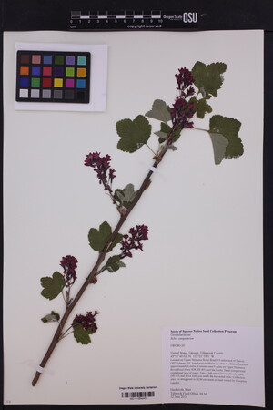 OSC-V-254243_lg.jpg |
 | Grossulariaceae 24. Ribes sanguineum PurshU.S.A., Washington, Kittitas County: Along Forest Road 1115 about 2.5 miles from United States Highway 97. Elev. 1064 m. 47.25901° N, 120.72453° W; T20N R17E S5 Datum: WGS 84. Moist soil under duff layer; coniferous forest; open area along road. Other plants: Abies grandis, Holodiscus discolor, Achlys triphylla, Osmorhiza chilensis. Flowers deep pink; common. Reproductive state: Flowers. Origin: Native. Don Knoke 2368May 15, 2013WTU: 409305; WTU-V-023264 |  WTU-V-023264.jpg |
 | Grossulariaceae 25. Ribes sanguineum Pursh var. sanguineum Canada, British Columbia: Fraser Valley Regional District, Johnson Road, above Spuzzum First Nation reserve. Elev. 152 m 49.6565°, -121.42447°. Voucher specimen for E.R. Fenneman\'s PhD thesis: DNA barcoding the vascular plants of southern British Columbia (Project code VPSBC on boldsystems.org) UBC: V239000 Erin R. Manton | Jamie D. Fenneman 337May 5, 2013 | 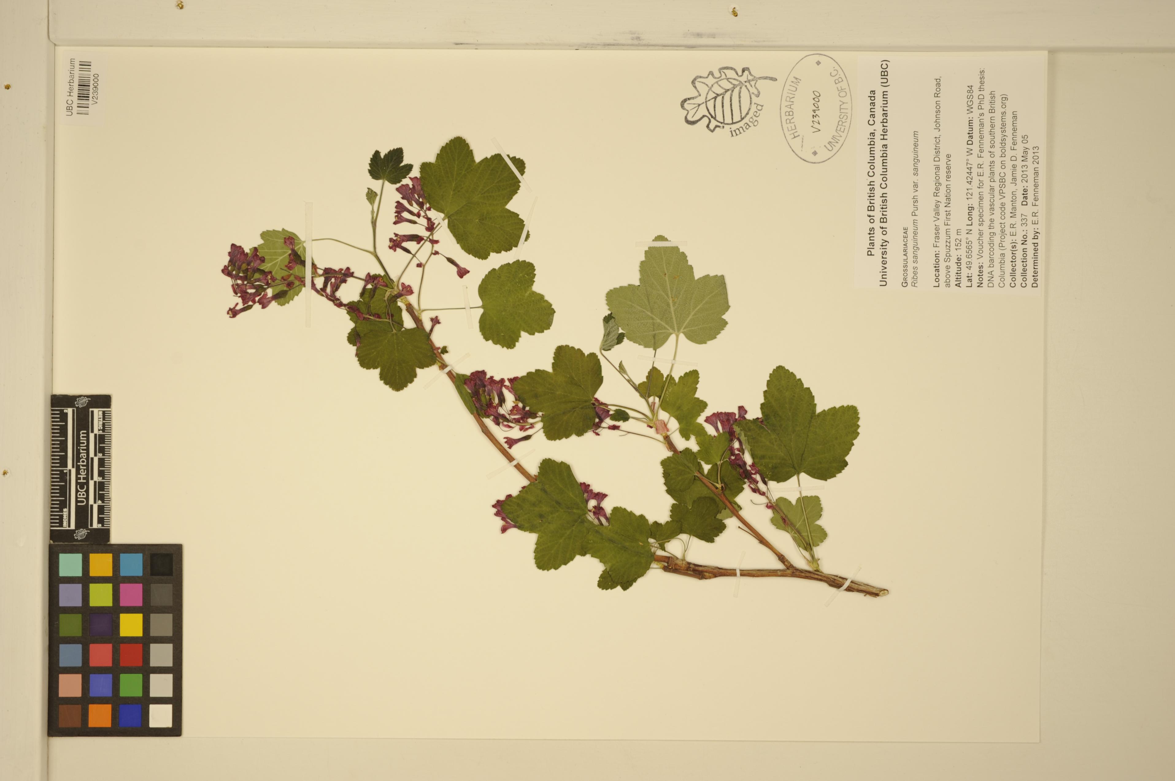 V239000.jpg |
 | Grossulariaceae 26. Ribes sanguineum PurshU.S.A., Jackson County: N Chinquapin Rd. Elev. 5650 ft. 42° 9\' 30" N, 122° 26\' 30" W BLMMD: 3075 M. Lorusso Jun 3, 2013With J. Matthews |  BLMMD03075.jpg |
 | Grossulariaceae 27. Ribes sanguineum PurshU.S.A., Washington, Chelan County: Ingles Creek. About 3 miles up the Ingles Creek trail (off highway 97) and the trailhead that starts 6 miles south of Highway 2. Near a small creek crossing. North side of Ingles creek. Elev. 2800 ft. T23N R17E S28 47.4599°, -120.7219°. Datum: NAD 27. Coordinate uncertainty: 805 meters. Georeferenced by Ben Legler. Coordinate Source: TRS2LL. Douglas fir, bitter cherry, Douglas maple and Pachistima associated. Mixed sheet with R. laxiflorum. Filed under R. sanguineum. Reproductive state: Flowers. Origin: Native. WTU: 389400A P. Camp 2334May 30, 2012 |
 | Grossulariaceae 28. Ribes sanguineum PurshU.S.A., Washington, Klickitat County: Along Appleton Highway. 45.792312°, -121.29723°. Datum: WGS 84. Coordinate uncertainty: 2500 meters. Georeferenced by Dan Post. Coordinate Source: Digital Map. Ditchline adjacent to second growth Douglas-fir. Reproductive state: Flowers. Origin: Native. WTU: 391546 David Gross 760Apr 29, 2012 |
 | Grossulariaceae 29. Ribes sanguineum Pursh var. sanguineum Canada, British Columbia: Vancouver Island, Cowichan Valley Regional District, road from Port Renfrew to Lake Cowichan. Elev. 285 m 48.7086°, -124.20717°. Roadside. UBC: V238389 Erin R. Manton | Jamie D. Fenneman 36Apr 29, 2012 | 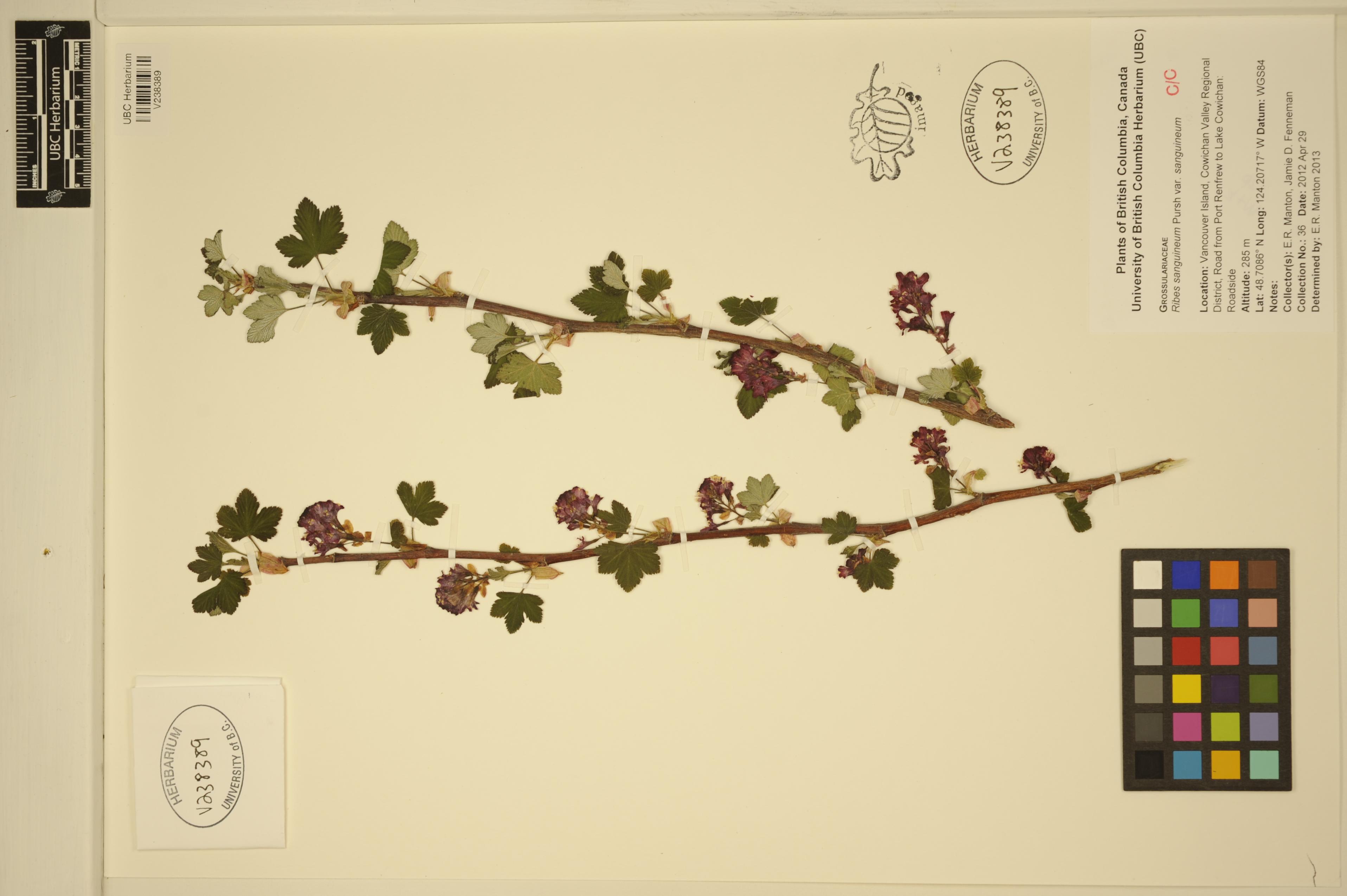 V238389.jpg |
 | Grossulariaceae 30. Ribes sanguineum Pursh var. sanguineum Canada, British Columbia: Greater Vancouver Regional District, West Vancouver, Lighthouse Park. Elev. 129 m 49.33716°, -123.26258°. UBC: V238450 Erin R. Manton | A. van der Linde 1186May 2, 2012 | 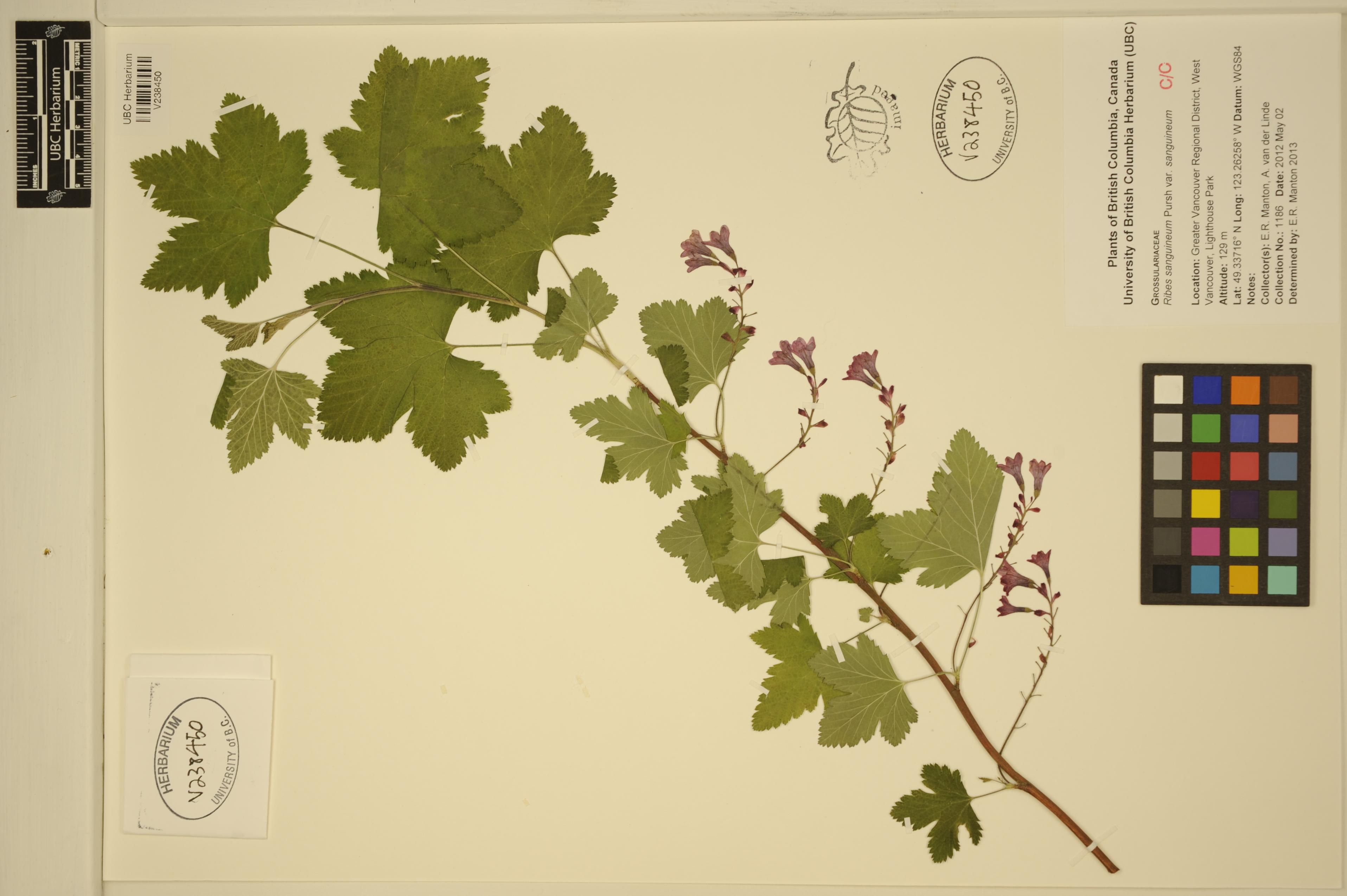 V238450.jpg |
 | Grossulariaceae 31. Ribes sanguineum Pursh var. sanguineum Canada, British Columbia: Denman Island, Comox-Strathcona Regional District, Fillongley Provincial Park Campground. Elev. 8 m 49.54212°, -124.75748°. UBC: V238419 Erin R. Manton | A. van der Linde 1409May 17, 2012 | 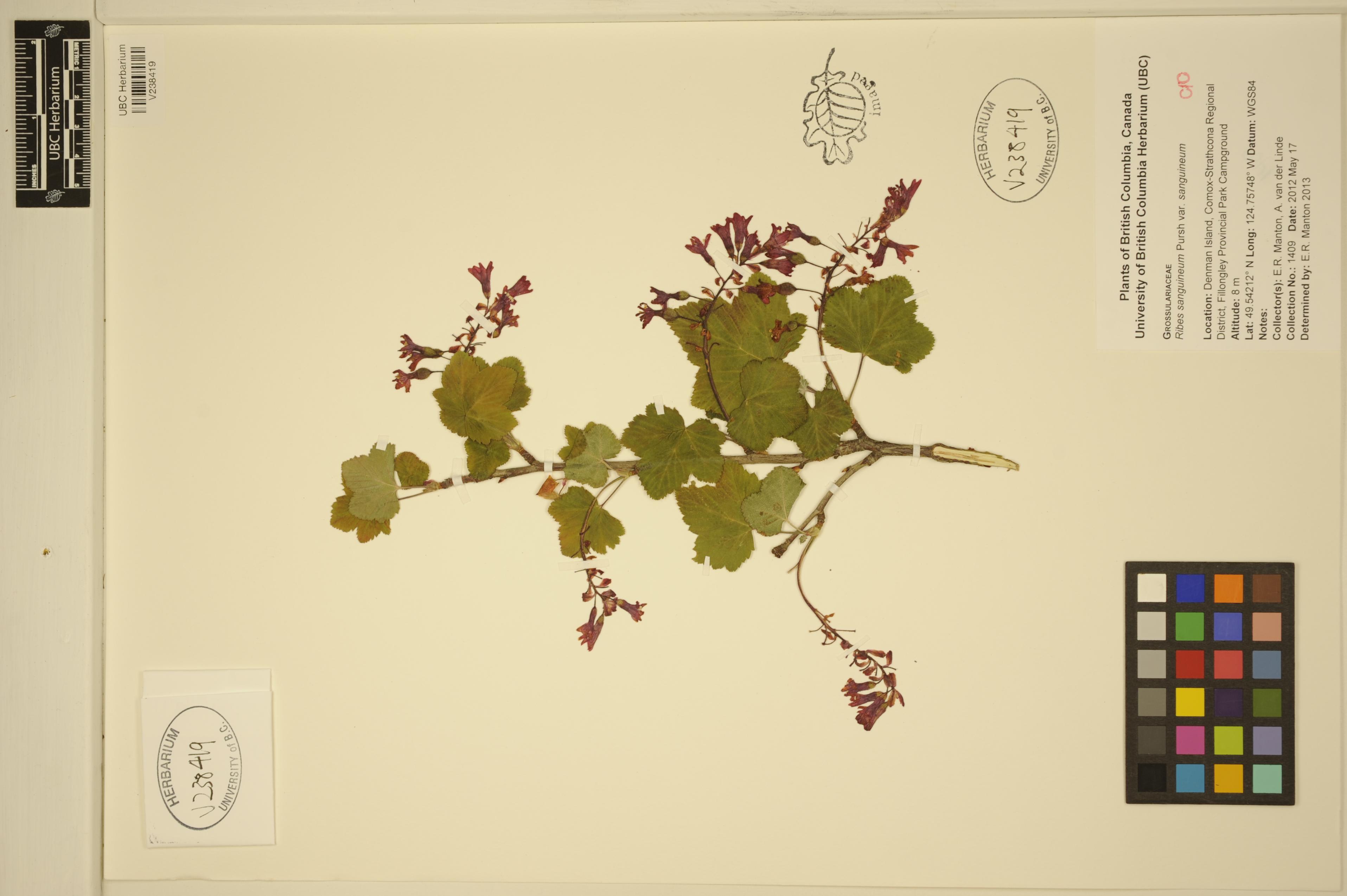 V238419.jpg |
 | Grossulariaceae 32. Ribes sanguineum Pursh var. sanguineum Canada, British Columbia: Kootenay Boundary Regional District, Burrell Creek Forest Service Road. Elev. 940 m 49.62182°, -118.31424°. UBC: V238461 Erin R. Manton | A. van der Linde 1507Jun 14, 2012 | 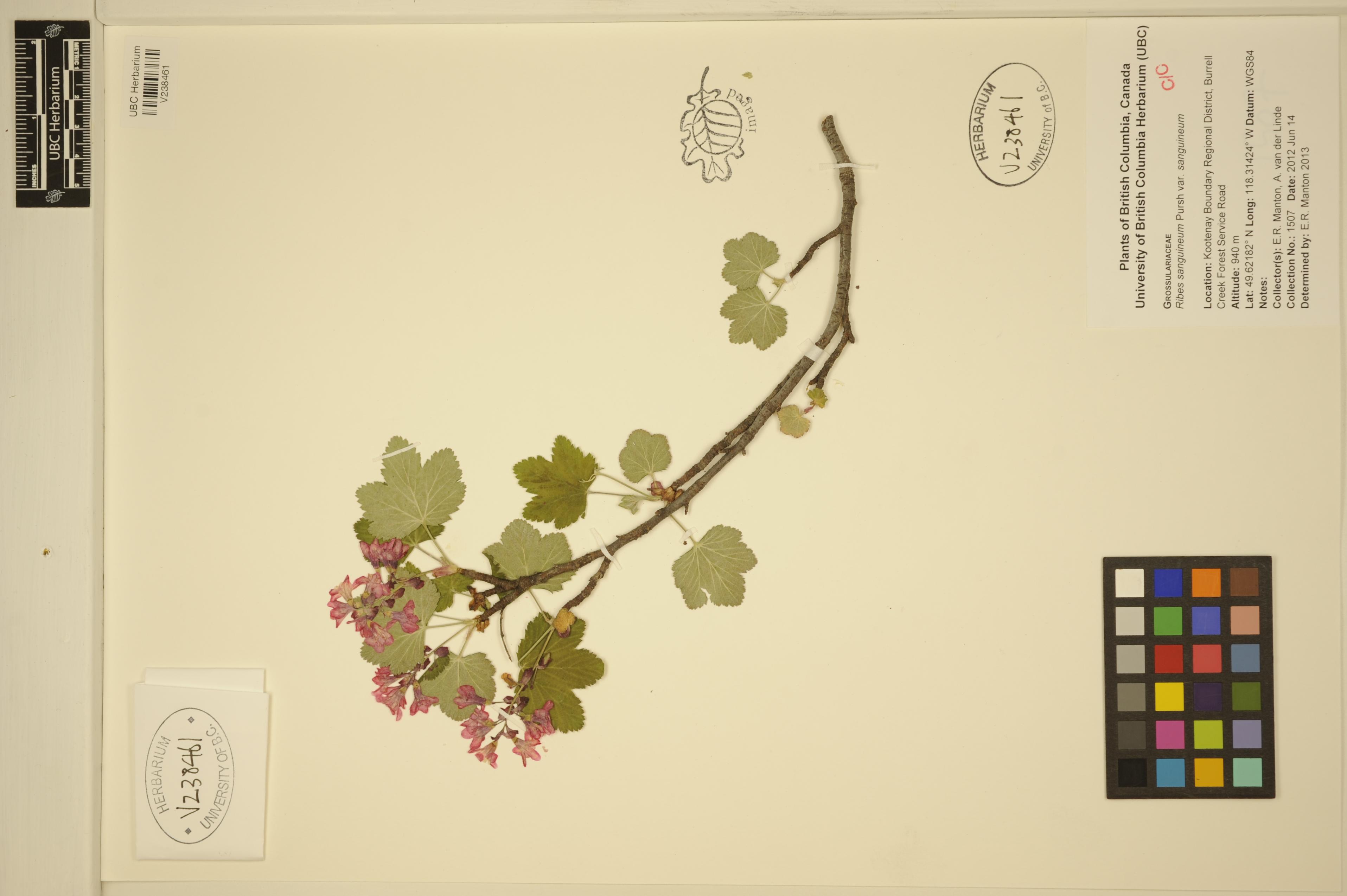 V238461.jpg |
 | Grossulariaceae 33. Ribes sanguineum PurshU.S.A., Jackson County: Hinkle Gulch travel 2.75 miles to ridge top landing. Elev. 2900 ft. 42° 13\' 10.892" N, 123° 10\' 33.029" W; T38S R4W S33 BLMMD: 3165 S. Joachims May 1, 2012With L. Busby |  BLMMD03165.jpg |
 | Grossulariaceae 34. Ribes sanguineum Pursh var. glutinosum (Benth.) LoudenU.S.A., Oregon, Lincoln County: Along U.S. Hwy. 101, ca. 1.6 miles south of Waldport, at junction with S.W. Whitecap Drive. Elev. 14 m. 44.40456° N, 124.08543° W Datum: WGS 84. Coordinate Source: Specimen Label. Associated taxa: Picea, Arctostaphylos, Phalaris, Gaultheria, Rubus. Flowers deep pink; inflorescences pendent. SRP: 55886 Richard R. Halse 8465Apr 7, 2012 |  SRP055886.jpg |
 | Grossulariaceae 35. Ribes sanguineum Pursh var. glutinosum (Benth.) LoudenUnited States, Oregon, Lincoln: Along U.S. Hwy. 101, ca. 1.6 miles south of Waldport, at junction with S.W. Whitecap Drive. 44.40456°, -124.08543°. Associated taxa: Picea, Arctostaphylos, Phalaris, Gaultheria, Rubus. HerbariumSpecimenDuplicate: Ribes sanguineum var. glutinosum Flowers deep pink; inflorescences pendent. WGS84. https://intermountainbiota.org WS: 389690 Richard R. Halse 8465Apr 7, 2012 |
 | Grossulariaceae 36. Ribes sanguineum Pursh var. glutinosum (Benth.) LoudonUnited States, Oregon, Lincoln: Along U.S. Hwy. 101, ca. 1.6 miles south of Waldport, at junction with S.W. Whitecap Drive. Elev. 14 44.40456°, -124.08543°. Georeferenced by [automated process-OregonFlora/OSU Herb]. Coordinate Source: OrlookId: 86709, StateProvince: Oregon, County: Lincoln, LocName: Lat 44.40456 Deg; Lon -124.08543 Deg. OregonFlora 1994-2020 methodology. None. HerbariumSpecimenDuplicate: Ribes sanguineum var. glutinosum | herbariumSpecimenDuplicate: Ribes sanguineum var. glutinosum https://oregonflora.org Richard R. Halse 8465Apr 7, 2012OSC: Accession Number: OSC237012 |
 | Grossulariaceae 37. Ribes sanguineum PurshU.S.A., Washington, Skagit County: Vendovi Island. Near cove on north side of island. Elev. 5 m. 48.6129°, -122.614°. Datum: WGS 84. Coordinate uncertainty: 50 meters. Georeferenced by WTU Staff. Coordinate Source: Georeferenced. Open, mowed area around house and outbuildings. Frequent but scattered, mostly in open woods. Reproductive state: Flowers. Origin: Native. John Floberg 2011-04May 1, 2011With James Duemmel, Peter Dunwiddie, Tanner Harris, Ben Legler WTU: 404049; WTU-V-012227 |  WTU-V-012227.jpg |
 | Grossulariaceae 38. Ribes sanguineum PurshU.S.A., Washington, Whatcom County: Ross Lake National Recreation Area. Lightning Creek north along along trail to Desolation Peak, approximately 2 kilometers from campground. Elev. 1754 ft. 48.87638° N, 121.01951° W Datum: WGS 84. Coordinate uncertainty: 5 meters. Coordinate Source: GPS. Lat/Lon and Locality do not agree. JD South-west facing bald dominated by Zigadenus venenosus and Pseudoroegneria spicata; bald interspersed with several vernally moist areas. Scattered; shrub to 2 meters tall; sepals red. Reproductive state: Flowers. Origin: Native. WTU: 381850 Jim Duemmel 10-27May 11, 2010 |
 | Grossulariaceae 39. Ribes sanguineum PurshU.S.A., Washington, Whatcom County: Ross Lake National Recreation Area. Lightning Creek north along along trail to Desolation Peak, approximately 2 kilometers from campground. Elev. 535 48.87638° N, 121.01951° W South-west facing bald dominated by Zigadenus venenosus and Pseudoroegneria spicata; bald interspersed with several vernally moist areas. Scattered; shrub to 2 meters tall; sepals red. NOCA 22087 Jim Duemmel 10-27May 11, 2010 |  NOCA00022087.JPG |
 | Grossulariaceae 40. Ribes sanguineum PurshU.S.A., Washington, San Juan County: San Juan Islands. McConnell Island. Elev. 0-25 ft. 48° 35.747\' N, 123° 1.469\' W Coordinate uncertainty: 250 meters. Coordinate Source: Specimen label. West facing grassy beach. A few widely scattered individuals. Reproductive state: Flowers. Origin: Native. WTU: 394545 Phil Green 09-12BApr 24, 2009 |
 | Grossulariaceae 41. Ribes sanguineum PurshU.S.A., Washington, San Juan County: U.S. BLM land. Victim Island. Elev. 50 ft. 48° 36.831\' N, 122° 58.472\' W Datum: WGS 84. An open, forested, 3 acre island with Arbutus, Quercus, Juniperus, and Pseudotsuga; Holodiscus dominant shrub understory; deer evident. Single shrub overhanging west shoreline. Reproductive state: Flowers. Origin: Native. WTU: 392841 Hannah Marx 09-26Apr 24, 2009 |
 | Grossulariaceae 42. Ribes sanguineum PurshU.S.A., Washington, San Juan County: San Juan Islands National Wildlife Refuge and Wilderness Area. Aleck Rock. South of Lopez Island. Elev. 32 ft. 48° 25.399\' N, 122° 51.038\' W Datum: WGS 84. Coordinate Source: GPS. Island includes two islets separated by a gravel berm which probably is submerged at very high tides. Reproductive state: Flowers. Origin: Native. WTU: 393870 Phil Green 09-14BApr 23, 2009 |
 | Grossulariaceae 43. Ribes sanguineum PurshU.S.A., California, Humboldt County: Near Redwood National Park. Near path on rocky bluff overlooking the Pacific Ocean. Multiple shrubs up to 4 m, bearing dark pink flowers. Reproductive state: Flowers. ID: 146680; ID055862 Joel Ruprecht Mar 19, 2009 |  ID055862.jpg |
 | Grossulariaceae 44. Ribes sanguineum PurshU.S.A., Oregon, Yamhill County: McMinnville; located at Charles Metsker Park; found along trailside around Rainbow Lake. Elev. 305 ft. 45.227° N, 123.313° W Among other plants in crowded, but open area. Shrub 1.5 meters tall with pink to white flwoers. LINF: 4535 Allison Hendrix 14May 14, 2009 |  LINF004535.jpg |
 | Grossulariaceae 45. Ribes sanguineum PurshU.S.A., Washington, Snohomish County: North of 153rd Street SE and west of Mill Creek Town Center. Elev. 320 ft. 47° 51.632\' N, 122° 13.275\' W Coordinate Source: GPS. North Creek watershed in the greater Sammamish River Valley. Riparian forest along Mill Creek Trail behind Mill Creek Town Center, west of Main Street and east of North Creek. Reproductive state: Flowers. UWB: 000152; UWB100078 Cindy Easterson 7May 2, 2009 |  UWB100078.jpg |
 | Grossulariaceae 46. Ribes sanguineum Pursh var. sanguineum U.S.A., Oregon, Benton County: Kings Valley, 2 miles up logging road located 1.8 miles from Hoskins along Hoskins along Hoskins Road. Elev. 1083 ft. 44° 40\' N, 123° 25.52\' W Coordinate Source: Specimen Label. Mixed coniferous and alder forest north of road. Large deciduous woody shrub to 10 feet tall. Reproductive state: Flowers. Origin: Native. EWU: 8488 Lucas Hunt 3Apr 26, 2009 |  EWU0008488.jpg |
 | Grossulariaceae 47. Ribes sanguineum PurshU.S.A., Washington, San Juan County: Little Sucia Island, off the southwest corner of Sucia Island. 48° 45.283\' N, 122° 55.198\' W Coordinate Source: GPS. Includes forested uplands (circa 80 feet high) with shrub understory, steep sandstone cliffs, eroding dirt bluffs. Linked by a low, shrub-covered (Rosa nutkana) shell-midden berm. Frequent with Rosa nutkana in open forest understory. Reproductive state: Flowers. Origin: Native. WTU: 393512 Erica Nees 08-7Apr 23, 2008 |
 | Grossulariaceae 48. Ribes sanguineum PurshU.S.A., Washington, San Juan County: Matia Island. 48.74791° N, 122.84196° W Datum: WGS 84. Coordinate uncertainty: 800 meters. Georeferenced by Jim Duemmel. Coordinate Source: Digital Map. Vicinity of campsites at west end of island. Large mixed conifer forest, with several open, disturbed campsites. A couple of shrubs next to campsite, west end of island. Reproductive state: Flowers. Origin: Native. WTU: 377301 Peter Dunwiddie 08-6Apr 24, 2008 |
 | Grossulariaceae 49. Ribes sanguineum PurshU.S.A., Washington, San Juan County: East Sucia #7. 48.76398° N, 122.88579° W Coordinate uncertainty: 200 meters. Coordinate Source: GPS. The largest island in the chain. Forested with Arbutus, Juniperus, Pseudotsuga, with shrub understory. Height of 50 feet or so. 1 shrub. Reproductive state: Flowers. Origin: Native. WTU: 393286 Megan A. Jensen 582Apr 25, 2008 |
 | Grossulariaceae 50. Ribes sanguineum PurshU.S.A., Washington, San Juan County: Ewing Island. Long, narrow island off NE end of Sucia Island. Steep sandstone ridges run length of island. 48.76455° N, 122.88093° W Datum: WGS 84. Coordinate uncertainty: 400 meters. Coordinate Source: Digital map. Mostly forested with PSME, ARME, and JUMA. Grassy balds along south shore and at east end of island. One shrub with Rosa nutkana. Reproductive state: Fruits. Origin: Native. WTU: 393247 Janneke Hille-Ris Lambers JHRL 08-08May 28, 2008 |


